
AddressBase combines local authority address information, Ordnance Survey location intelligence and national Unique Property Reference Numbers (UPRNs) to create a comprehensive view of every addressable location across Great Britain.

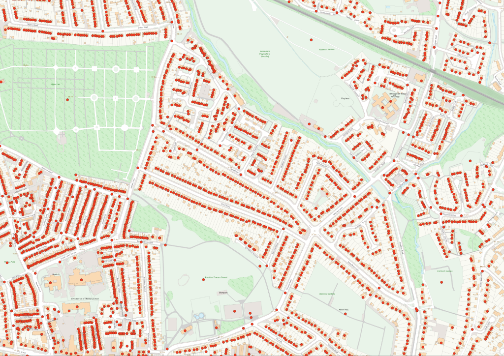
ODCGIS supports organisations by capturing and validating property points against Ordnance Survey AddressBase, assigning accurate geospatial locations and linking each asset to its Unique Property Reference Number (UPRN). This creates a trusted foundation for integrating property, asset, compliance and operational data within a GIS.
Want to see what Ordnance Survey Addressbase can do for your organisation?
Talk to our team about the OS Addressbase data, formats and licensing or request a quote.