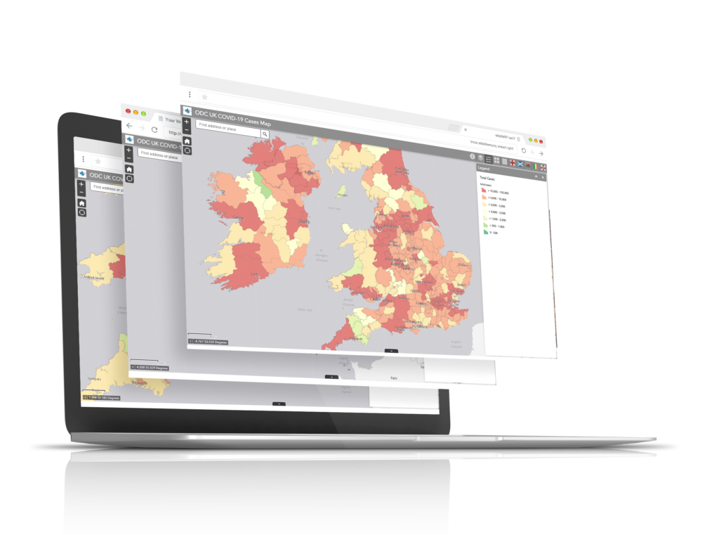
GIS can help you keep all your information accurate allowing you to answer any queries quickly and efficiently. You will also be in a good position to handle any unexpected surprises and to be able to plan accordingly, an issue we all faced with the Covid lockdowns and restrictions.
These are extremely important as they identify clearly what land you own and therefore have responsibility for in the eyes of the law. Data is licensed on an annual basis.
Having a comprehensive Business Contingency Plan is an essential part of any organisation. For example, when the Coronavirus outbreak first started, it was clear that contingency plans should be put in place in the event of home working. This included mapping drive time areas from staff postcodes to assist with business planning. In this case, the map allows managers to see staff locations in relation to their properties, so at a glance they can see who is able to provide cover in certain areas if required.
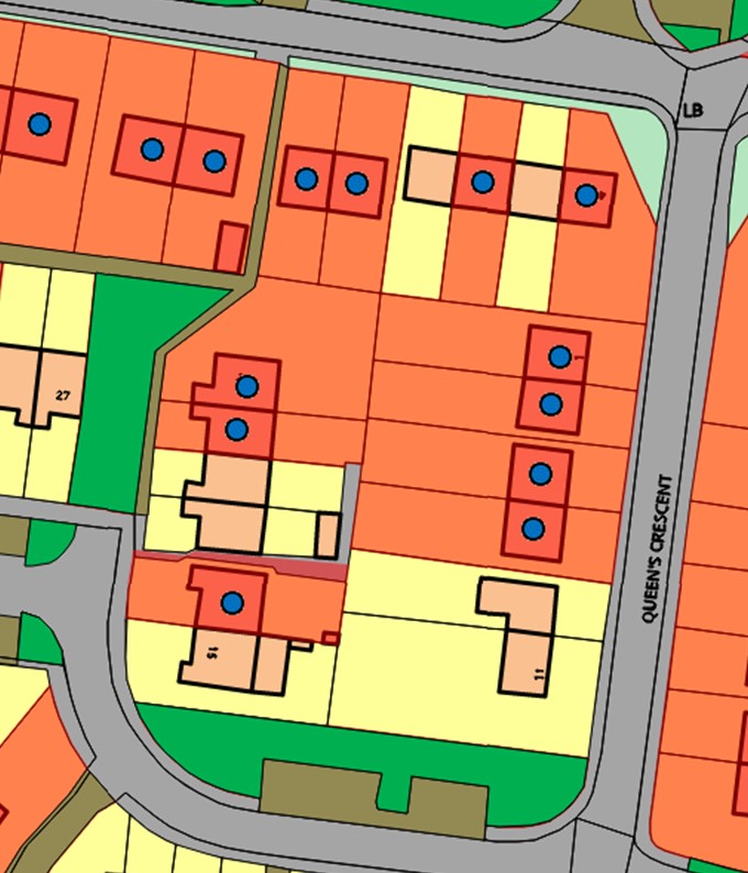
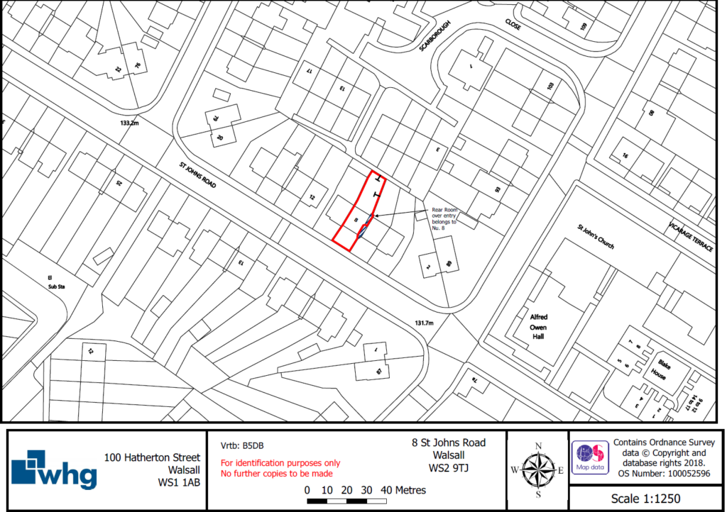
In essence these are maps created for the sale or potential sale of a property. Where we produce a to scale plan along with Ordnance Survey Mastermap data and any leasehold requirements.
Most organisations use solicitors to produce these however this can be an expensive way of having them produced ranging anywhere from £100 to £300 a time. ODCGIS can offer these at a fraction of the cost.
Having an accurate spatial record of all your assets came save time on site visits as information on each asset is at your fingertips. Some items can be captured in a desktop exercise but a thorough record requires a site visit. ODCGIS carried out an Asset Tagging exercise for Stockport Homes capturing and tagging all their gates, barriers and balustrades. Click on the button below to view the case study.