
Ordnance Survey National Geographic Database (NGD) Buildings

OS NGD Buildings Theme provides detailed information on building characteristics including height, age, structure, composition and other physical attributes. This enables organisations to understand the built environment at scale

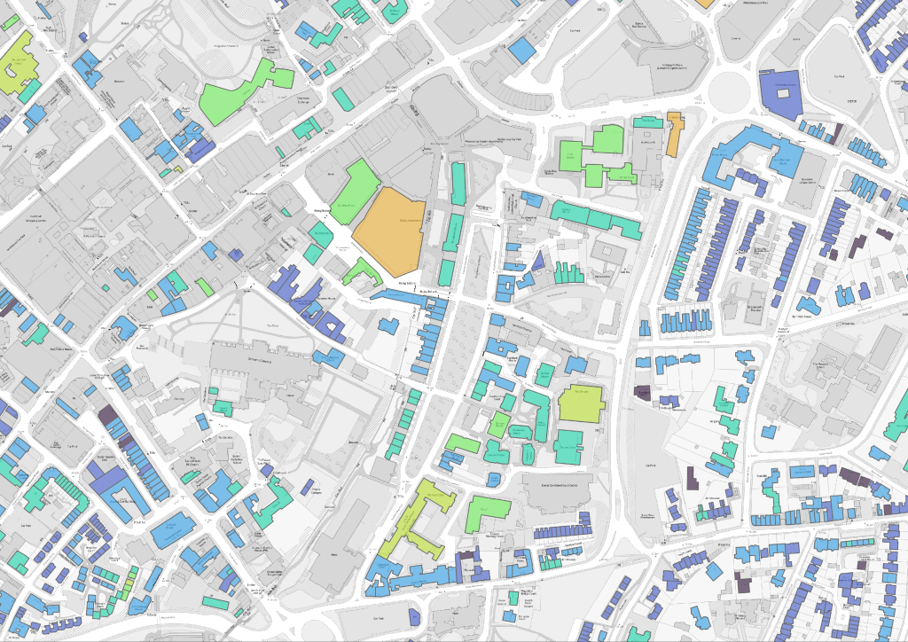
At a glance

  • Coverage – Great Britain
  • Formats – Geopackage, CSV File and PostGIS
  • Updates – Typically refreshed every six weeks; the OS update their database daily. Data supply can be flexible with customer requirements.


Key benefits

  • Enhanced Asset Intelligence – Gain a deeper understanding of buildings and structures across portfolios.
  • Support Sustainability Programmes – Identify opportunities for retrofit, decarbonisation and energy efficiency initiatives.
  • Improve Investment Decisions – Incorporate building intelligence into planning and acquisition processes.
  • Automatic Data Updates – Through the use of a GIS Managed service, the data updates are automatically applied to clients data, where not used through a PostGIS database.

Example use cases from existing clients

Property and asset management

  • Proactive Asset Management – The NGD allows for the efficient scheduling of large-scale works (like window replacements or damp mitigation), ensuring homes are kept to a high standard while saving significant time and money.
  • Targeted Decarbonisation Strategy – Organisations can instantly identify the least energy-efficient homes (based on age and materials) for prioritised retrofitting and use solar panel data to plan new installations providing a clear, data-driven path to meeting EPC regulations and lowering tenant energy bills.
  • Informed Strategic Planning and Risk Management – The data enhances tenant safety by flagging specific property risks, such as increased flood susceptibility for homes with basements, allowing for targeted communication and support.


Insurance, lending and risk

  • Underwriting Intelligence – Access detailed property and building characteristics to support more informed risk selection and pricing decisions.
  • Catastrophe Exposure Analysis – Understand concentrations of insured assets and exposure to flood, storm and other environmental risks at a portfolio level.
  • Property Risk Profiling – Combine NGD data with environmental and claims information to create a more comprehensive view of risk at an individual property level.
  • Claims Assessment – Use detailed building and location information to support claims validation, impact assessment and loss estimation.
  • Portfolio Optimisation – Analyse exposure by geography, building type and property characteristics to support strategic portfolio management.

Want to see what Ordnance Survey NGD can do for your organisation?

Talk to our team about the OS NGD data, formats and licensing or request a quote.