All set for meetings and magic at Homes UK conference and expo

London Housing Week (24-27 November 2025) is building up to be the biggest social housing gathering of the year, with thousands of industry professionals due to attend. There are numerous events spread throughout the week starting with the Housing Investment & Delivery Symposium on the Monday. The main event is the Homes UK and Unlock […]
ODCGIS Will Be At The National Housing Summit
The National Housing Summit 2025 starts Monday 8th September for 2 days and ODCGIS will be attending as usual on Stand D15. Step into the future of housing at the Housing Community Summit – a groundbreaking collaboration between the National Housing Federation (NHF) and the Chartered Institute of Housing (CIH). The Housing Community Summit is […]
Over 1 Million Properties Cared for by ODCGIS Managed Service Clients!
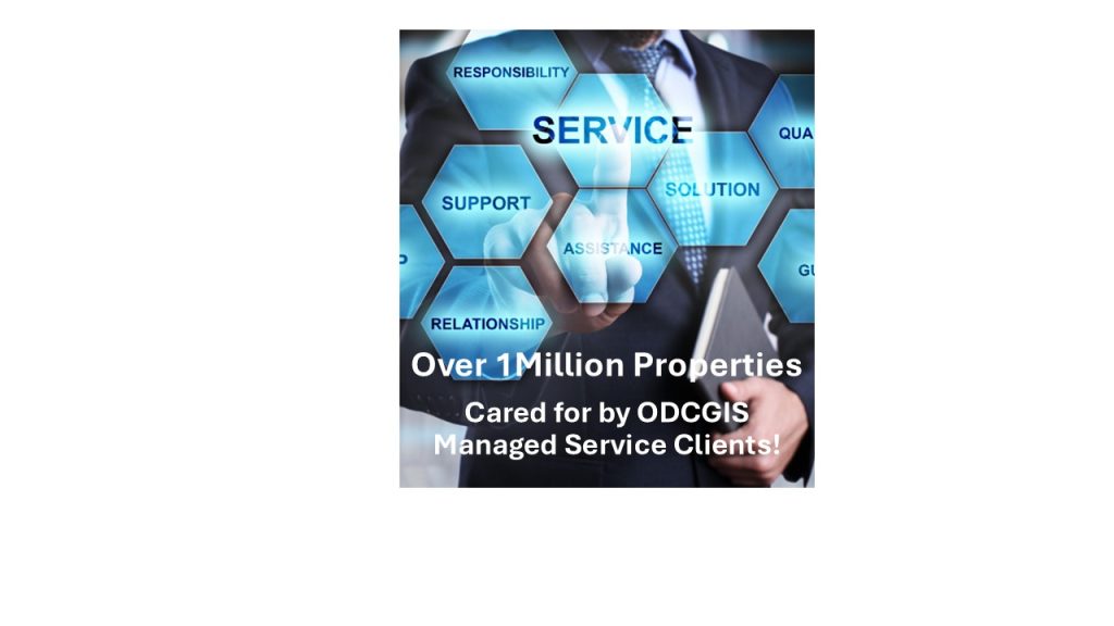
In the past few weeks, Clarion and Peabody have signed up to ODCGIS’ niche GIS Managed Service and as a result ODCGIS’ 64 Managed Service clients are now responsible for over 1,000,000 properties! Remarkably this is almost 30% of all social housing stock managed by housing associations in the UK! Whilst Clarion and Peabody are […]
Massive Success for ODCGIS Seminar
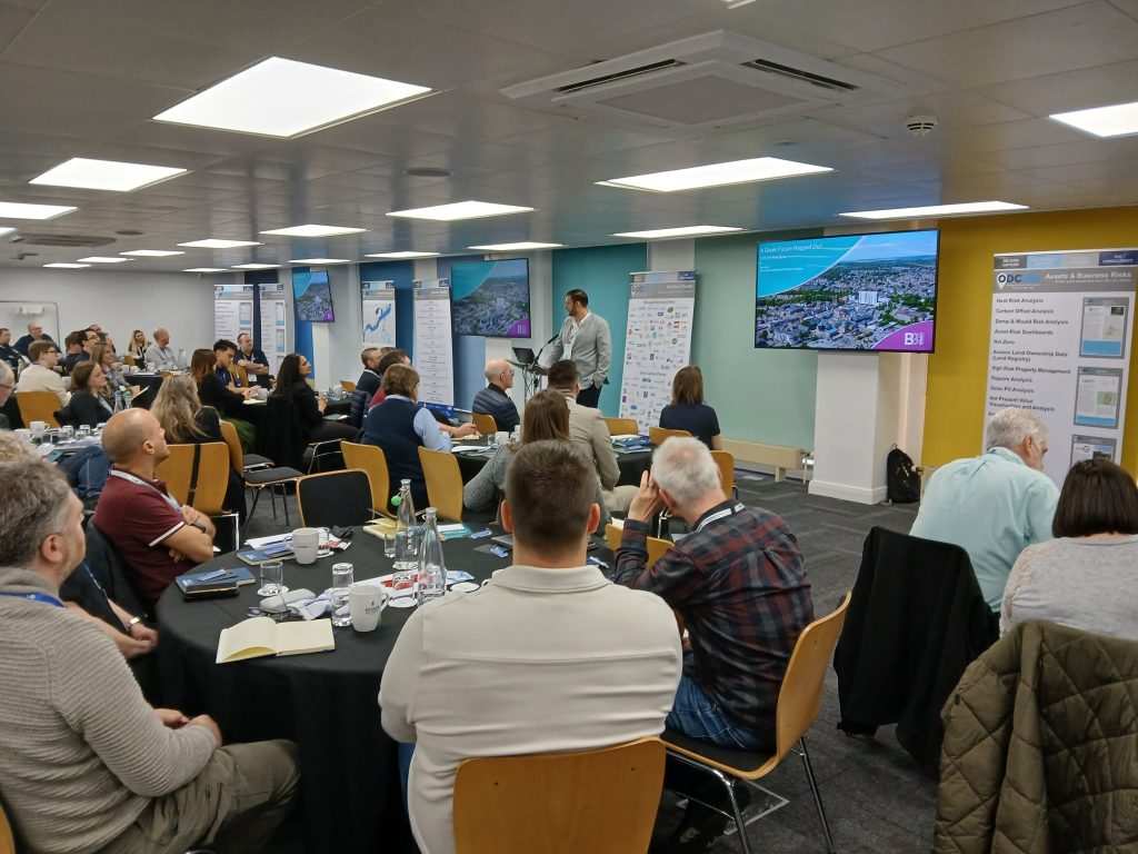
ODCGIS hosted their first face to face Seminar in Birmingham on Wednesday 26th March 2025. Over 100 delegates from 57 housing associations attended and spent the day networking with each other as well as listening to 8 of their peers from other housing associations explain how they had been using GIS. The presentations covered a […]
15 new ODCGIS Managed Service Clients in Past 12 Months
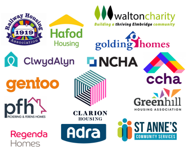
The last 12 months have been the busiest in ODCGIS’ 30 years of working with social housing providers and local authorities. 15 major grounds maintenance contracts have been completed, including Clarion’s plus 15 more housing associations have signed up for ODCGIS’ niche GIS Managed Service. Clwyd Alyn, Adra, Clarion, St. Annes Community Service, Greenhill, Pickering […]
Seminar – Enhancing Social Housing Through GIS

FREE Seminar, by Housing Professionals for Housing Professionals Birmingham, Wednesday 26th March 2025 8 housing professionals will share their experiences in the fascinating world of Geographic Information Systems (GIS) and its applications in the housing sector. Covering a range of subjects, the day will be filled with insightful discussions, interactive sessions, and networking opportunities with […]
ODCGIS invited to join PfH’s SHED 4 Framework
Procurement for Housing (PfH) are one of the most respected organisations in social housing and have launched their latest Framework- SHED 4. (Social Housing Emerging Disruptors). SHED 4 focuses on ‘Innovation in Social Housing’ something that ODCGIS is well placed and offering already to its 57 Managed Service Clients. The solution will enable PfH Members […]
Meet ODCGIS at The Housing Innovation Show or CIH South West 2025
February is a busy month for ODCGIS, specifically the 12th and 13th of February, as there are 2 conferences taking place and we will be attending both! The Housing Innovation Show is at the ICC in Birmingham and ODCGIS are on Stand 24. Furthermore, Director of Operations, Rick Thompson will be speaking at the event […]
ODCGIS are at Housemark’s Housing Data & Analytics Conference.

GIS Mapping uses spatial data giving you meaningful insights into your properties and land ownership and allow you to make informed decisions.This could be at a strategic level, planning your next developments, meeting sustainability targets, using hot spot mapping to identify areas for action etc. or on a granular level, justifying service charging transparently to […]
ODCGIS Announce Strategic Alliance with Map Impact
ODCGIS is excited to announce a new reseller partnership with Map Impact, the pioneering environmental services data provider. Working together, we will provide Geographic Information Systems (GIS) data services for Housing Associations. Our collaboration will focus on identifying biodiversity metrics and assessing climatic risks using objective evidence. Nature recovery and heat stress are becoming increasingly […]